

Type to search.

#919 by installscommercial

MapGeo – Interactive Geo Maps

by MapGeoVersion 1.6.30

Create interactive vector maps of the world, continents, any country in the world and specific regions, including individual US state county maps.

Active installs
30,000+
#919 of 1,000
Downloads, all time
755.4K
755,355
Downloads, 30 days
6K
1.4K in the last 7
Rating
4.4 / 5
65 reviews
Last updated
3 months ago
Aug 7, 2026
Version
1.6.30
55 releases

What MapGeo's own page says

Read from interactivegeomaps.comon

MapGeo plans and prices
PlanPriceBilledRenews atSites
Annual Plan$39.99per yearNot shownsingle-site license
Lifetime Plan$199.99Not clear on the page$199.99single-site license
The page's own words around each price
  • Annual Plan: le-site license with updates and priority support for the duration of your subscription. $39.99/ year [Buy Now](https://interactivegeomaps.com/pricing/ ) [or Start a Free Trial]
  • Lifetime Plan: e Plan A single payment for a long-term single-site Pro license with no annual renewal. $199.99one time [Buy Now](https://interactivegeomaps.com/pricing/ ) [or Start a Free Tri
  • Money-back period mentioned: 30 days
  • Promotion on the page: 7-day free trial

Who it is for

site owners looking to create interactive maps on their WordPress website

Use cases the vendor names

  • Creating world maps
  • Interactive data visualizations

Features it lists

  • Access to 250+ Maps
  • Priority Support (responses usually within 24h)
  • Unlimited Colour Regions & Round Markers
  • HTML Tooltips & Shortcodes on Tooltips
  • 10+ Map Projections
  • Advanced Zoom & Custom Initial Zoom/Center
  • Custom Image & Vector Icon Markers
  • Group Regions & Drilldown Maps Support
  • Heatmaps & Connecting Lines
  • Text Labels

Needs

  • WordPress version 5 or higher
  • PHP version 7 or higher

A script read this page, and kept only what the page's text backs up. These are the vendor's list prices and its own words, not a deal and not my review. Prices change and can differ by country, so confirm on the vendor's page before you buy.

Upkeep and compatibility

Upkeep and compatibility
Last updatedAugust 7, 2026Updated in the last 3 months
Tested up toWordPress 7.0.8Older than WordPress 7.1.4, the current release
Needs WordPress5.0 or newer
Needs PHP7.4 or newer
First publishedOctober 28, 2019
Support, last two months0 of 4 threads resolved (0%)

Reviews

4.4 / 5 from 65 reviews

Reviews by star rating
5 stars53
4 stars1
3 stars1
2 stars6
1 star4

Downloads, last 30 days

Low 88 a dayHigh 354 a day

What the author says it does

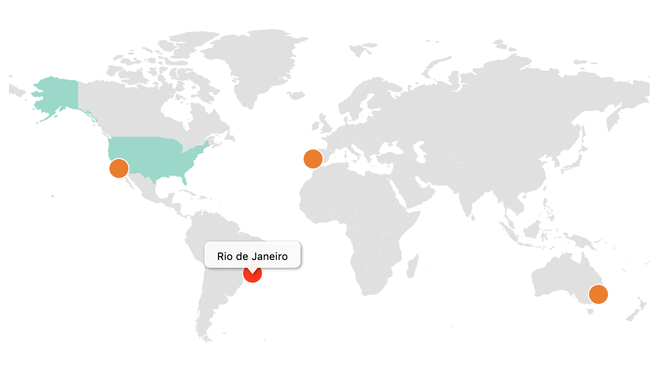
Create interactive maps with regions and coloured markers. You can display the world map, continent maps and single country maps.

Demo | Admin Demo | Maps | Documentation | Pro

More than 250 vector maps available

  • World map (with and without Antarctica)
  • World map divided by continents (different variations)
  • Maps of continents and regions (Africa, Asia, Caribbean, Central America, Europe, Latin America, Middle East, North America, Oceania, South America )
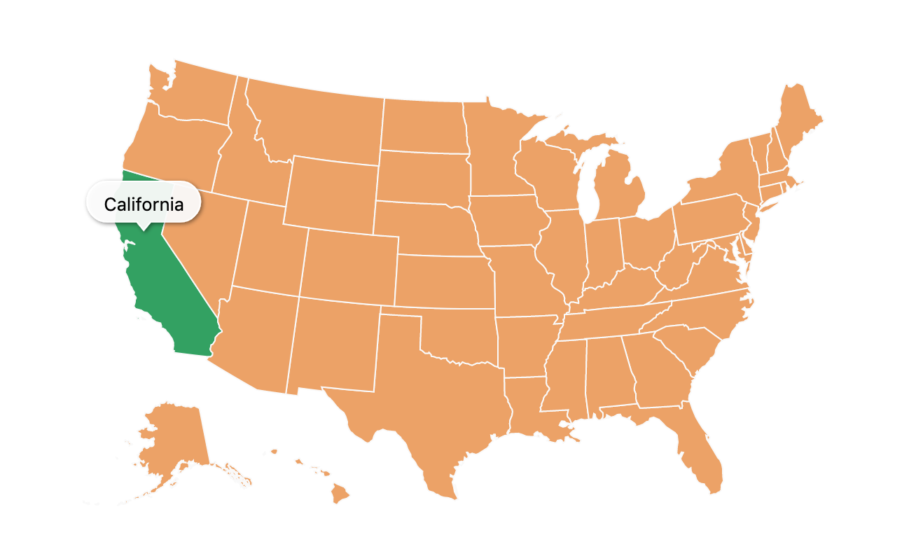
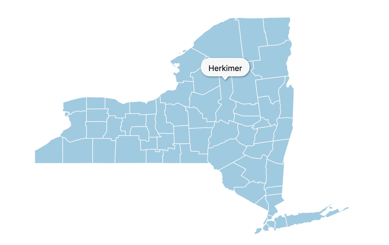
  • US States divided by counties (California, Texas, Florida, New York and all the others)
  • Mexico county maps
  • Canada county maps
  • Most countries in the world, including United States of America (USA), Germany, France, United Kingdom (UK), Netherlands, Spain, Australia, Italy, Poland, South Africa, Brazil, India, Japan and many others.
  • Some countries with different map variations like France, divided by regions or departments, Portugal divided by districts or municipalities, among others.

Create your first interactive map in minutes! Use it to display your visited countries map, travel map, office locations, projects map, representatives map, statistics map, data visualization map or any other thing!

Browse Full List of Maps

Features

  • Create as many maps as you want
  • Responsive and cross-device
  • Color countries
  • Add round coloured markers
  • Set hover color change

The opening of the plugin's own description. The full text, installation notes and changelog are on its WordPress.org page.

Questions the author answers

Do I need an amcharts account or license for the plugin to work?

No, you won’t need any license or specific account. The plugin will work out of the box.

Do I need a Google Maps API Key for the plugin to work?

No, you won’t need one. The plugin will not use the Google Maps API. However you can add a Google Maps API Key in the settings of the plugin to enable geocoding when adding markers and therefore get the latitude and longitude directly in the plugin’s administration.

Where can I get coordinates for a marker?

You can get the latitude and longitude needed to a add a marker to a map using sites like GetLatLong or LatLong.net or any other similar website. Optionally, you can add a Google Maps API Key in the settings page of the plugin and this will enable you to get the coordinates directly in the map administration panel, when adding a maker.

Where can I learn how to use the plugin?

You can visit the documentation pages on the official website.

The map is not displaying when using WP Rocket!

You can visit this article on how to use the plugin together with WP Rocket.

Latest changelog entry

1.6.30

Update the in-plugin pricing page with the new MapGeo logo and branding.

Screenshots

First 4 of 10, from WordPress.org.

Tagged

Plugins that share its tags

#945 by installs

Leaflet Map

by bozdoz

Interactive maps and markers on your posts and pages with simple shortcodes.

Installs
30,000+
Rating
4.9 (58)
Updated
2 months ago

Where this page's numbers come from

Read from the WordPress.org plugin API on , when WordPress 7.1.4 was the current release. WordPress.org rounds active installs into buckets. These are the directory's figures, not my verdict, and I haven't tested this plugin. The author takes donations at their donate page.